Bridges
Home
/ Bridges Info / Porter
Brook
/ River Sheaf /
Rivers Loxley & Rivelin / River
Don / All
Bridges / Bridges
Links /
All
Map / Sitemap / Dams
Welcome to the
Bridges of the Porter Brook (and other Sheffield rivers)
Web Pages
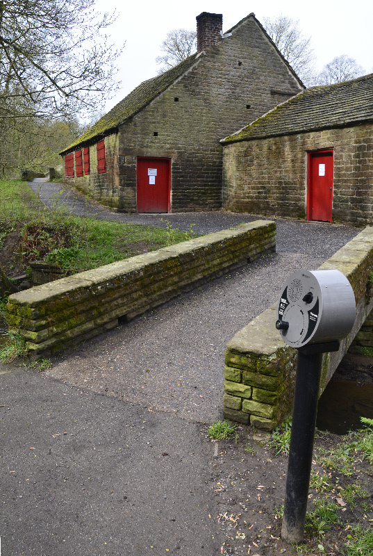
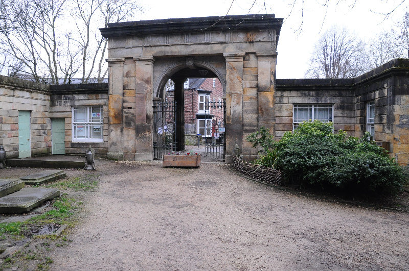
Porter Brook and other rivers,
Sheffield, South Yorkshire
This web site was primarilly designed to be a
pictorial record of the bridges and dams of the Porter Brook.
As such it falls in two parts, Bridges and Dams,
each with a similar layout of photographs, site by site moving downstream.
As time has elapsed, Bridges & Dams of the River Sheaf have also been added.
Each river now has an overall map of its bridges (see Bridges menu on LHS, or menu above),
as well as the separate pages with all the photo's of all the bridges in each section.
The other Sheffield river are gradualy being added.
Sheffield is said to be a city of five rivers:
Sheffield grew up around the castle, which was built where the River Sheaf joins the River Don. Most people know where Ladysbridge is, but the end of the Sheaf is not so well known, although close. The River Sheaf disappeared underground when the Midland Railway built their station, and finally appears from under Castlegate to exit into the Don by Blonk Street.
The next rivers are the River Rivelin which joins the River Loxley, which then joins the River Don further upstream at Hillsborough.
Sheffield's fifth river is the Porterbrook, which rises to the East of Sheffield near Ringinglow. It then travels nearly 10km before joining the River Sheaf, at a point now underneath Sheffield (formerly Sheffield Midland) railway Station.
Along with the other rivers of Sheffield, the Porterbrook was influential in the early industry in Sheffield, as the water was harnessed to power grinding wheels for corn, snuff and mainly metal manufacturing. Thanks to benefactors from 1885 to 1927 this early industrial landscape is now a green parkland with duck ponds being the main purpose of the remaining dams. Consequently many of the bridges in the upper Porter have been built for the parks' footpaths. In the lower Porter towards the city centre, few people realise that many of the bridges exist, as the river hides between buildings away from sight, until it's final stretch disappears under Sheffield (Midland) railway Station, where it joins the River Sheaf.
On the following pages of this site are displayed pictures of the various crossings of the PorterBrook,
(from its source near Ringinglow (above Here), down to its end (beyond here) under the railway station),
River Sheaf, and now the other Sheffield rivers.
The Porter Valley parks (Endcliffe Park, Bingham Park, Whiteley Woods, Forge Dam and Porter Clough)
have Grade II listed status (see Historic England Reference 1001502,
and a number of the bridges aslo have Listed status - see appropriate links
See each river's main map page for details of the sections of that river, and their bridges,
& Bridges Info page in this web site for organisation of photographs - it should then make more sense.
or use the menu in the frame to the left (if your browser supports frames),
and the many hyperlinks, embedded in the pages and in the labels of the markers on the maps.
"Go Back to Homepage" returns here (Bridges Home).
For the Dams part of the site, click on the Dams link on top menu, or select from Dams menu on LHS menu.
Pictures are initially displayed as thumbnails, to ensure the pages appear quickly.
Most can be clicked on to download a larger image.
Note: almost done for the Porter Brook and River Sheaf,
and started for the River Loxley and Don.
All images (c)PorterBrook Bridge Photographer, or
(c)Nix Pix, unless otherwise stated.